The following satellite images come from Rapidfire.sci.gsfc.nasa.gov for March the 15th, 2014, the day cyclone Lusi moved over the North Island of New Zealand. As can be seen, there are a variety of odd formations of a kind we’ve seen before, that can not be explained away as ‘natural’ or ‘normal’ occurences.
The first image comes from the satellite Aqua and shows a cloud with a right angle, plus lines running through the cloud matter over the North Island of New Zealand. The original image is here: rapidfire.sci.gsfc.nasa.gov/imagery/subsets/?subset=NewZealand.2014074.aqua.250m


 The three images above: Satellite imagery from Rapidfire, from Terra. A chemtrail, ‘tractor tracks’ and a circular indentation in the cloud matter to the west of the South Island on March the 15th, 2014. Refer original here: http://rapidfire.sci.gsfc.nasa.gov/imagery/subsets/?subset=NewZealand.2014074.terra.250m
For more information on the unnatural clouds being seen globally now, visit: Weatherwars.Info.
Related:
To see more strange clouds formations, including circular indentations, chemtrails and lines through clouds, watch this excellent video: HAARP Clouds and Chemtrails Gallery by Scott Stevens
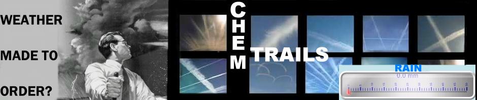
Meteorologist Decodes Chemtrails And Weather Manipulation
Breaking: Air Force Chemtrail Whistleblower Exposes Geoengineering


